Heraion Sanctuary, Corinthia

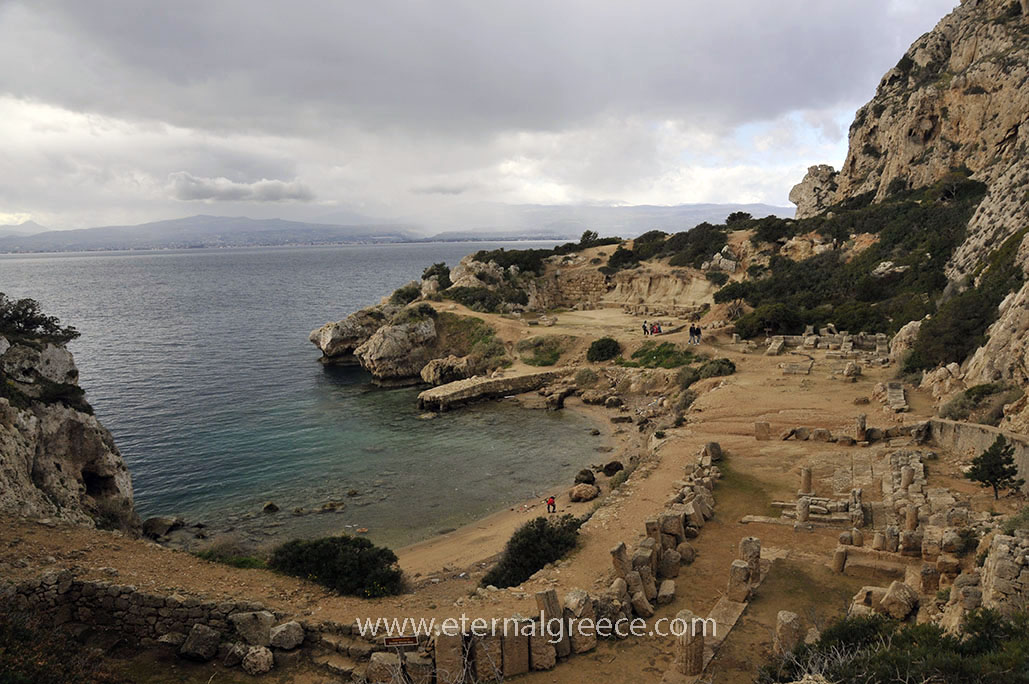
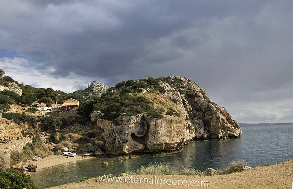
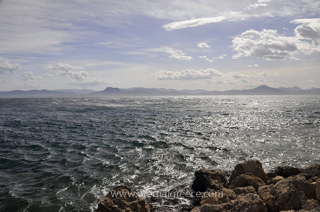
Situated in a small, secluded cove of the Corinthian gulf near the end of the Perachora promontory, the sanctuary of Hera was founded at the beginning of the 8th century B.C., probably by the Megarians or the Argives, but soon came under the control of the Corinthians. In the 6th century B.C., the shrine of Hera Akraia (Akraia meaning ‘of the edge’ or of the ‘cape’) was constructed at the site of a Geometric apsidal temple, whilst the shrine of Hera Limenaia (‘of the harbour’) was built. around 200 m. to the east of it, near the harbour.
The sanctuary expanded during the 5th century B.C. with the construction of an L-shaped stoa and an altar and the creation of an agora, while a large roofed cistern was built in the 4th century B.C. In the 1st century CE, the Greek historian Strabo wrote that there was an oracle associated with the sanctuary.
Following the sacking of Corinth by the Romans under General Mummius in 146 B.C., the Heraion site fell into decline and was abandoned. Domestic structures were built at the site during the Roman period, indicating that the area was no longer a sanctuary.
The Heraion was excavated in 1930-1933 by the British School of Archaeology at Athens under the direction of H. Payne and is important for the study of the origins of Greek temple architecture and rural cults, such as that of nearby Corinthia region. The unusual plan of the 6th century BCE temple of Hera Akraia coupled with its location on the remains of a 9th BCE apsidal structure are of interest to the study of the development of the Greek temple as an architectural and cultic form.
During the Roman period, domestic structures were built on the site, indicating that the area was no longer a sanctuary. This site is significant for the study of the origins of Greek temple architecture and rural cults.
The finds are exhibited in National Archaeological Museum of Athens and the Archaeological Museum of Ancient Corinth.
Notes on the site's Archaeology
The known structures of the sanctuary cover a rectangle approximately 45 metres (148 ft) north–south and 245 metres (804 ft) east–west. The sanctuary wrapped around a small cove and extended toward the east, uphill along a ridge. Many structures have been found, two of the most important ones being:
Temple of Hera Akraia:
The earliest structure at the site was an apsidal building of perhaps the late 9th century BCE, which is thought to resemble the house-temple models known from the Argive Heraion. On that analogy, it would have had a high-peaked roof, covered perhaps in thatch. There were Early Helladic shards under this structure.
In the 6th BCE, a Doric order tetrastyle-prostyletemple of about 10 by 30 metres (33 by 98 ft) was built a little to the west of the apsidal structure. The cella of this temple was divided into three aisles – a highly unusual design. There was a wall to divide the west end of the cella and a screen in front of the cult statue. Evidence for the reuse of some blocks may indicate that there was a prior phase of the structure in the 7th century BCE. The roof of this temple was of marble. No evidence has yet been found of pedimental sculptures.
Temple of Hera Limenaia:
Around 75 metres (246 ft) east of the cistern lie the remains of a structure that dates perhaps to the 6th century BCE. During excavation a bronze bull was discovered, inscribed with Sikyonian letters and dating to the end of the 6th BCE. There was a hearth at the centre of the building. It may have been a house-temple or a dining room, as evidenced by spits for roasting meat found inside. Many diagrams and reconstructions of this structure show a door in the western side-wall; the gap in the stones, however, may have been created by a trial trench dug by an earlier excavator.
The “Temple of Hera Limenaia” was named by the original excavator, Payne, on the basis of an apparent inscribed dedication to “Hera Limenaia.” For some time, scholars supposed that two separate cult centers existed at Perachora. John Salmon, has argued convincingly that Hera’s cult title at Perachora was Akraia, while Limenaia was a secondary epithet.
The Site today
A new, paved pedestrian path links the archaeological site with the parking area
Comfortable walking shoes are recommended.
Map
Map of the archaeological site:

1. West court
2. Roman house
3. Apsidal structure
4. Temple of Hera Akraia
5. Altar
6. L-shaped stoa
7. Apsidal cistern
8. Dining rooms
9. Water channels
10. Sacred pool
11. Temple of Hera Limanaia
12. Walls
13. Modern jetty
14. Modern chapel
15. Modern footpath
Gallery
All images copyright Eric CB Cauchi / Eternal Greece Ltd, unless otherwise stated.
Sources
https://en.wikipedia.org/wiki/Heraion_of_Perachora
http://www2.warwick.ac.uk/fac/arts/classics/students/modules/greekreligion/database/clumbk/
Select Site Bibliography:
Scully, V. The Earth, The Temples, And The Gods (1979)
Morgan, C. ‘The Evolution of the ‘Sacral’ Landscape’ in Placing the Gods, eds. Alcock, S. and Osborne, R. (1994)
De Polignac, F. ‘Mediation, Competition, and Sovereignty’ in Placing the Gods, eds. Alcock, S. and Osborne, R. (1994)


